A reputable China tour operator & China travel agency from 1987

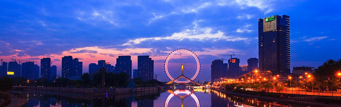
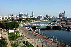 The Haihe, the largest water system in north china, is formed by five large rivers - the North Canal, the Yongding, the Daqing, the Ziya and the South Canal - and more than 300 tributaries these spread out like a palm-leaf fan over the vast areas in north China and converge near Tianjin to form the Haihe, which then flows east and empties into the Bohai Sea at Dagukou. This 69-kilometer trunk of the Haihe from Tianjin to Dagukou is like the handle of the fan, channeling the more than 300 tributaries into the sea. The Haihe basin covers Beijing, Tianjin, the greater part of Hebei, and parts of Shandong, Henan, Shanxi and Inner Mongolia. It has a catchments area of 265,000square kilometers and 180 million mu of farmland. The Haihe has its source in the Weihe River and total length of 1,090 kilometers.
The rainy season is concentrated in a very short period in the Haihe valley. When heavy rains occur, the torrents of the numerous tributaries in the upper reaches rush into low-lying middle and lower reaches, where the river is narrow and there is only one outlet to the sea, causing it to burst onto the plain in treat floods. The city of Tianjin was inundated on more than 70 occasions in the 500 years or more before 1949. In a major flood in 1939, vast areas in the North China Plain were submerged, and the water in the streets in Tianjin was two meters deep, so that boats were the only means of transport for upwards of two months.