A reputable China tour operator & China travel agency from 1987

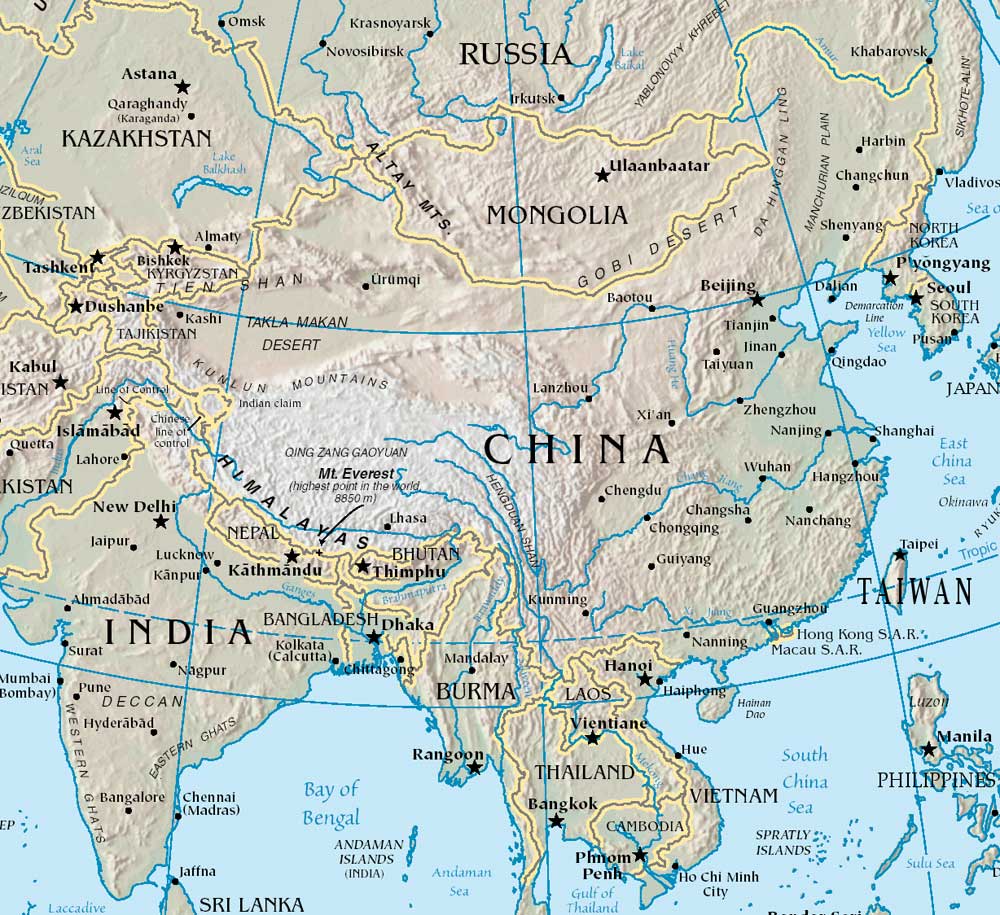
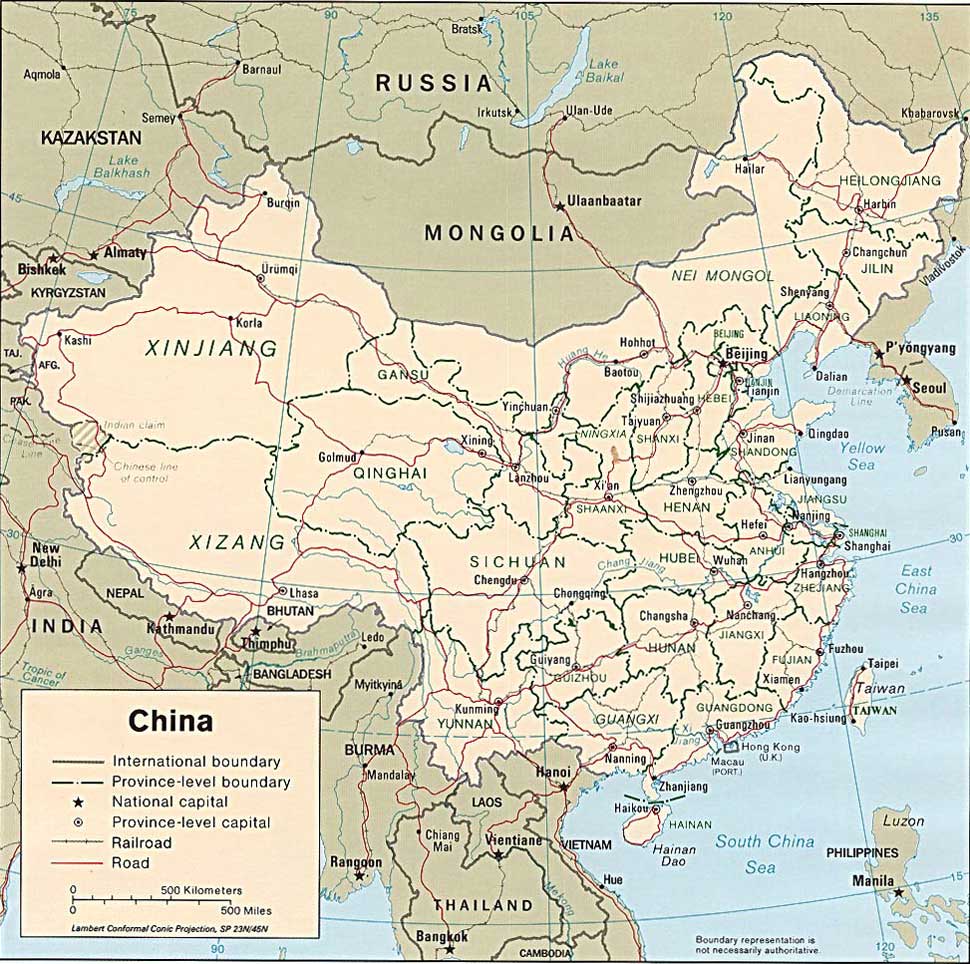
Rivers in China
China has many rivers. Nearly half of the major river systems in China, including the three longest-the Yangtze, Yellow River, and Pearl River, originate in the Tibetan Plateau. They flow west to east and drain into the Pacific Ocean. About 10 percent of the country's area drains into the Indian and Arctic oceans. The remaining 40 percent have no outlet to the sea. They drain through the dry western and northern areas of China, forming deep underground water reserves.
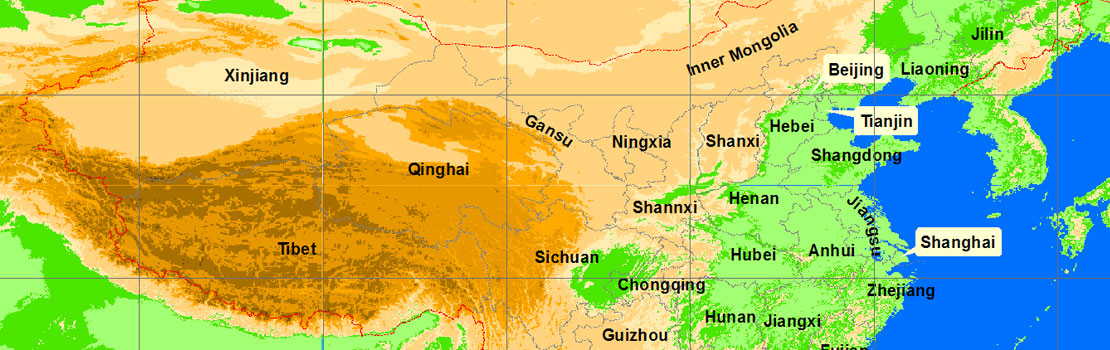
Mountains in China
There are thousands of mountains ranges in China. They extend east to west, and from north to south. Each has its own special geographical features. Some have steep cliffs, some have snow on their peaks throughout the year, some have temples and inscriptions and valleys and lakes.
The Qinling Mountains form a natural geographical dividing line between north and south China. The four “great" mountains are Mt. Taishan, Mt. Hengshan, Mt. Songshan and Mt. Huashan. The beautiful mountain scenery of China attracts visitors from all over the world.